Bike wayfinding in New York City
Getting lost-ish on a bike on a deserted street in Long Island City at 11pm got me thinking about the state of bike wayfinding in New York City.
At some point soon we as a city need to decide whether we’re going to treat bicycle facilities as primary mobility infrastructure, and provide for them properly, or whether we’re going to drag along with the imperfect tangle of good, bad, and indifferent facilities we have now.
People go a lot of places! And this means that bicycle transportation will only really take off if people on bicycles feel comfortable navigating the whole city, not just the parts they personally are familiar with from daily use. And that, in turn, depends in part on better wayfinding and route signage. Keep in mind that unlike car drivers, who are in metal boxes and feel physically safe driving on any street, bicycle riders need to know where the bike network is, even in places where they don’t regularly ride.
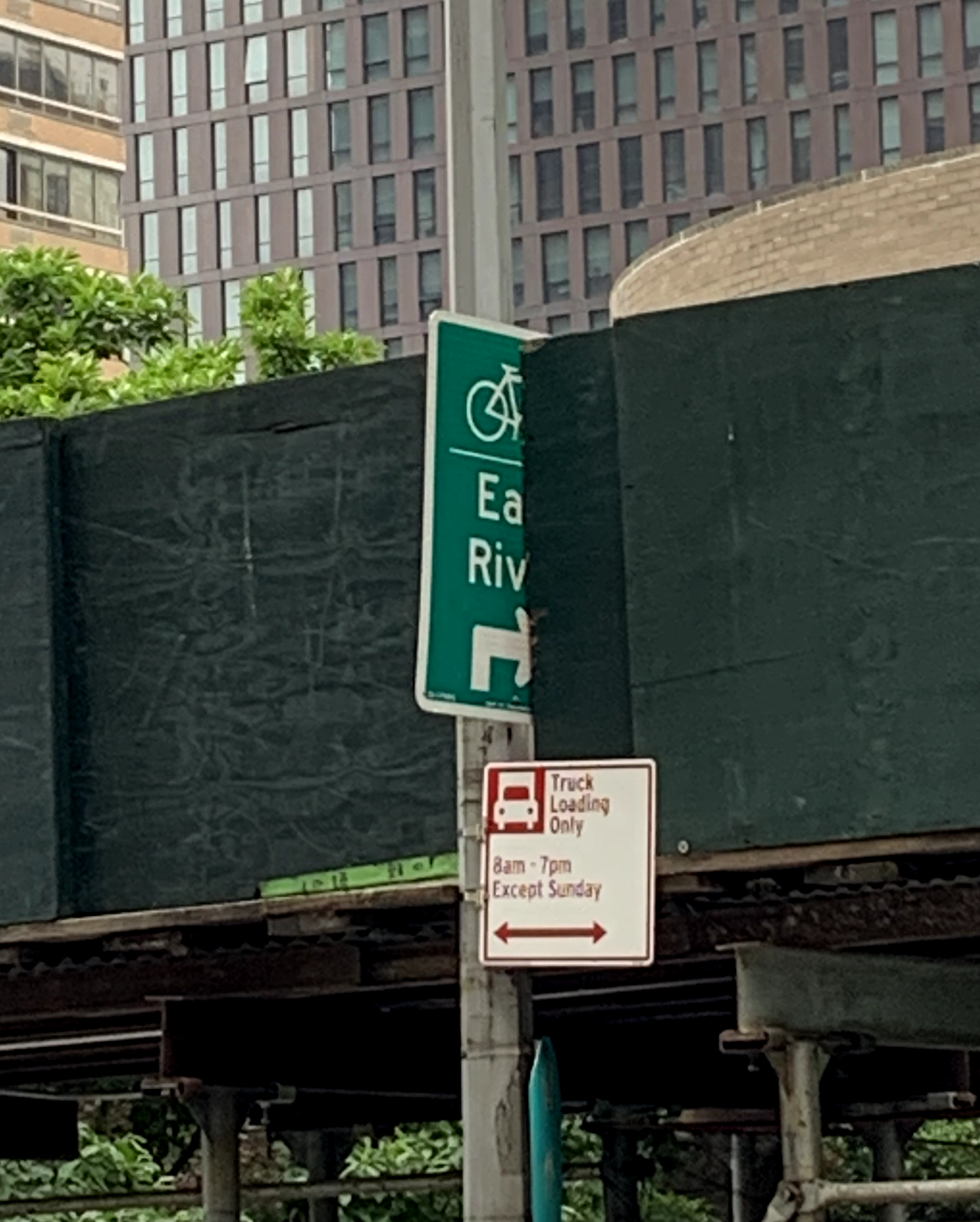
The DOT has done what I would say is a moderately good job (6 out of 10) of placing partial wayfinding signage along certain critical corridors. Some examples I’ve noticed: the “Best Route East” signage in Long Island City driving riders toward the Skillman and 47 Av corridors, the “Ed Koch Queensboro Bridge” signage in the other direction, and the signage in the Bronx River area. But even these are imperfect, trail off, or are missing guidance at key decision points.
Signage in Port Morris directed me to within 3 blocks of the Randall’s Island causeway, but then left me stranded on a random intersection in a warehouse district with no indication of what to do. More recently, late at night in Long Island City I lost the route from the Pulaski to the Queensboro on a dark street after following instructions on a DOT wayfinding sign to turn right onto 44 Av. Obviously I found the bridge path entrance because I already know where it is, but the purpose of wayfinding signage is that I shouldn’t have to know where it is in order to get there.

In the absence of an integrated numbered cycleway system (which is way too hard for us), we need a much more ambitious program of identifying and signing key corridors throughout the city, including intermittent reassurance markers (“Queensboro Bridge straight ahead”). The goal should be that once a rider is on a signed route toward a primary destination (like a bridge), there should be frequent enough signage that if they’re paying attention they won’t lose the trail.
One thing that would be useful would be a public inventory of important origin-destination pairs, leading to a few dozen designated routes that are signed properly. This wouldn’t be particularly expensive in the context of the DOT budget, and it would make the city much more friendly to people on bicycles.